12 events found.
Events
-
-
Barneys Bistro, Pomonal 3447 Ararat-Halls Gap Road, Pomonal, Victoria, Australia
-

Training Walk 1 – Mt Zero & Mt Stapylton
Grade: Medium
-
Rogaining Event – Ballarat
Brown Hill, Ballarat -
Landsborough Hill Nature Reserve Walk
Grade 3 - Moderate
-
Annual General Meeting
SES Hall 33 Sloane Street, Stawell, VIC, AustraliaAll welcome
-
-
Training Walk 2 – Briggs Bluff & Beehive Falls
Medium/Hard
-
Delleys Bridge to Lake Bellfield (Return)
Grade 3 - Medium
-
General Meeting
SES Hall 33 Sloane Street, Stawell, VIC, AustraliaAll welcome
-
-
-
Walk – Black Ranges (Stawell)
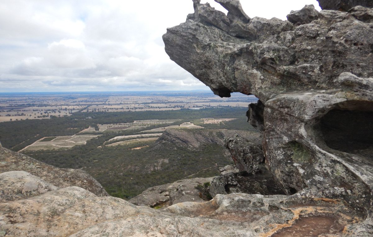
The next club bushwalk is Black Ranges (Stawell) on Sunday, September 6th. If you would like to join us, please notify Mike on 0406 756 855 by 6pm on Friday, September 4th to register your interest and to receive departure times and locations or further information. Walk Details The Black Ranges near Stawell is a rugged, scenic granite outcrop of wooded hills rising up to 500 metres elevation, located about 10 kilometres south of town. Roughly 80% of the 3500 Hectare forested area comprises private landholdings zoned for rural conservation, while 20% consists of public conservation reserves. This is a unique opportunity to walk on private land normally not accessible to the public. From the main house, we will make a slow ascent along a mostly off-track route that passes by several small caves as well as many large granite boulders and interesting rock formations. At the top, we will enjoy views of both Lake Fyans and Lonsdale. A moderately steep descent on the west side will take us through a bracken covered valley and along an old fire road. We will see the ruins of an old stone cottage, an outcropping of boulders where granite slabs were extracted for buildings in Stawell, and a grove of large stringy bark trees. Then back to the house for coffee. Please see the attached past photo of the walk. AWTGS Grade: Moderate - Grade 3 Grade Description: Rougher surface, short steep sections, many steps. Suitable for most fitness levels, some experience recommended. Distance: 7.5 km Total Elevation Gain: 230 m Duration: 3-4 hours including breaks Requirements: Water (at least 1.5L) Lunch Snacks Sturdy boots with good tread Sun hat Raincoat and overpants (if wet) Gloves and beanie (if cold) Sunscreen
-
GPT E2E #1 Day Walk – Mt Zero Carpark to Roses Gap
The next club bushwalk is the Grampians Peaks Trail (GPT) End to End (E2E) Day Walk #1 - Mt Zero Carpark to Roses Gap on Sunday, September 13th. If you would like to join us, please notify the walk leader Julie on 0407 561 135 by 8pm on Thursday, September 10th to register your interest and to receive departure times and locations or further information. LIMITED NUMBERS! Max # walkers is 15. Those already registered for the E2E have priority, followed by club members, then guests. So if you are really keen about this walk, then contact Julie immediately. An email will be sent out when the walk is full. Walk Details This is the first of 13 day walks to complete the Grampians Peaks Trail (GPT) End to End (E2E) from North to South over the next year. A car shuffle will be set up before we walk and will therefore require an early start. From the GPT trailhead at Mt Zero carpark, we walk up and over flat rock and down into the amphitheatre featuring Mt Stapylton and the Taipan wall. Climbing up to the main ridgeline past Bird rock, we pass the junction with the track to Mt Stapylton summit (done on training walk #1), and head south through intriguing rock formations. An early spring will allow us to see many native plants flowering in this Northern end of the Grampians. We pass the turnoff to Stapylton camp until we cross Coppermine track where a water tank is situated. From here the track undulates through rocky terrain. There is a creek crossing and great views south to the Mt Difficult range. We pass Barigar Falls and the campsite nearby, cross another creek, and then climb to a lower ridge running parallel to Roses Gap Rd until we descend to cross Troopers creek and complete our walk at the Roses Gap trailhead. Please see the attached recent photo of the walk. Grade: AWTGS Grade 4 - Difficult Grade Description: Long, steep, and rough tracks. Bushwalking experience required. Distance: 16.3 km Elevation Gain: 436 m Duration: 6.5 hr walking time Requirements: Water (at least 1.5L) Lunch, Snacks Sturdy boots with good tread Hat, Sunscreen (if hot) Raincoat, Overpants (if wet) Gaiters (snakes are waking up) Personal First aid kit Torch
-